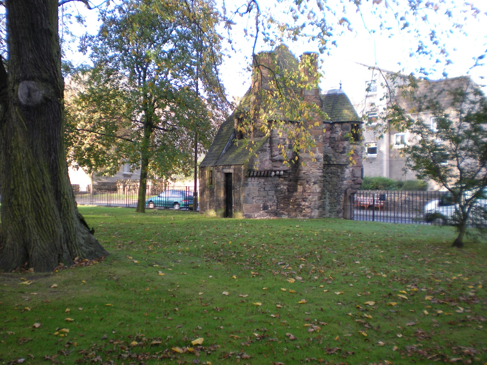
Saturday, December 24, 2011

Rosslyn Chapel, Roslyn Scotland

 30 September 2011
.
    Anyone that read the book or saw the movie The Davinci Code knows about Rosslyn Chapel.  Well, we visited it.  Not everything that Dan Brown wrote is totally accurate.  The chapel does date from the 15th century and it does have a lot of plaster symbols but they do not necessarily mean what he wrote.  The Rosslyn employee that led our tour did admit that there is a "room" beneath the chapel, but no one knows where the entrance is located.  She said that sonic equipment indicates the floor of the chamber is 45 feet below the chapel floor.  She admitted that the entrance is probably in the vault, one floor below and to the north of the chapel; but, no one knows how to get into the room.
    The original owner intended to build a cathedral but only the top portion of the cross was completed.  When he died, his son refused to spend any more of the family fortune on it, so the only evidence of a planned cathedral are the partial transept walls that extend to the east and west.  Even though the cathedral is still unfinished, the portion that is left is a masterpiece.
    One of the spectacular elements is called "The Master's Pillar" which is to the west of the altar and is a major support of the roof of the chapel.  Supposedly a master mason prepared the pillar and then had to leave to go on a trip.  He left the chapel and the finishing of the eastern pillar to his apprentice.  He gave the instructions
that the second pillar should be completed upon his return.
    So, the apprentice made the second pillar.  The "Apprentice's Pillar" is much more ornate than the "Master's Pillar" and appears to be entwined with vines.  The vines give it the illusion of being curved, but it is not.  Without the vises, the pillar would be perfectly straight.
    Archeologists believe that most of the symbols were applied.  The masons would prepare the plaster slury, pour it into molds, and once the plaster had partially set-up apply the roses, figures, stars, greenmen, angles, etc.  No one knows whether/not there were actual plans.  
There are two schools of thought: some scholars believe that there were plans while other scholars believe that the masons were allowed to use their artistic abilities to decorate the chapel.
    The stained glass windows were added during the Victorian era.  This is the main window, above the altar.  It is the only window in the upper level above the chapel that has stained glass.  The remainder of the windows are clear glass which provides illumination to the chapel below.


    At the northeast corner of the chapel is a staircase that leads down a double flight of stairs to a room that is identified as "The Crypt."  Granted, there do appear to be burial crypts along the sides, but it also appears to be a private chapel, with an altar at the north end, possibly for use by the priest to prepare himself before services.  A door to the left led to a small storage room - possibly for vestments and a door to the right leads outside.  The stained glass window on the right is above the altar in the crypt.


Friday, December 23, 2011

Edinburgh Castle, Edinburgh Scotland

 30 September 2011


The approach to the castle is limited to foot traffic.  The only vehicles permitted beyond the first gate, behind the camera, are official castle vehicles used to transport handicapped people.


There used to be seven gates that visitors had to pass through to get to the castle at the top. 
 Gate number three, coming up is the official portcullis.  With the gate down and the 30 foot walls the castle was impregnable.


Note the lion rampant on the shield above the gate.  It is the Herald of the kings and queens of Scotland.
A closeup of the portcullis entry.  


 Once past the portcullis one still has to walk uphill via a cobblestone road that winds around the mountain counter clockwise.
Still climbing, now the rooms of the castle can be seen.  From a distance, the size of the castle is deceiving.  Actually, the top of the mountain is approximately seven acres.  Every square foot is either paved or part of a building.   On the top of the building to the left is the Queen's dog cemetery.
The city of Edinburgh is divided into two sections: Old and New.  This is a view of New Edinburgh which has been build 1800 and later.
The dog grave markers in yard in the near bottom are the top of the building in the previous picture.

A better view of the dog cemetery.  Note the solar panel that powers the adjacent light.
Only one other dog cemetery exists in all of Scotland - at Fort George near Inverness.  It was built in 1746 after the battle of Culloden to honor the dogs slain in that battle.

A shortcut from the top of the mountain down to the Portcullis level.

A different view of the staircase down to the portcullis gate.
The doorway in the center opens into a meeting or gathering room.  The exterior walls are almost as thick as from the corner to the door.  The room was approximately 15 by 30 feet with one small fireplace.  Each window was approximately 1 foot wide by 3 feet tall.  On each side of the window was a bench.  At the end of the bench was a ceiling to floor curtain.   The bench could be used for sitting or sleeping.  When the sun came through the window, it would heat the cell and the curtain would retain the heat.

Saint Margaret's chapel from the 12th century.
 Another view of the shortcut from the top of the mountain down to the Portcullis level.
A view of the city from a window at the top of the castle.  The cannons in the foreground are at the portcullis level.
 The park below the castle mount is "Prince's Street Gardens."  Barely visible on the right, in the park, is a steeple like memorial to Robert Burns.  The citizens of Edinburgh have nicknamed the monument the wedding cake
 A better view of the Prince's Garden and the Wedding Cake


 Looking at the castle from the Prince's Garden.  One of the reasons that the monarchy chose Holyrood Palace as their official residence instead of the Castle was because of its isolation.  In addition, it was exposed to all types of weather.

Holyrood Palace, Edinburgh Scotland

 30 September 2011
-
We bagan the day with a tour of the exterior of the Palace of Holyroodhouse.  We approached through a park that is an extension of the palace grounds outside the fence.  Directly in front of us, along this path, is the Queen's Gallery.  To our left is the palace.


Our guide said this plaque on the side of the Queen's Gallery (obscured by the tree branches in the previous picture) is the symbol of the united kingdoms:  The English Unicorn and the Lion Rampant shield of Scotland.  
Our guide said that since it is the Queen's official residence in Scotland we would not be allowed to go onto the grounds.
.
However, it was found during research for this posting that for 15 English Pounds a person can tour both the Queen's Gallery and Holyrood Palace.  


This Gallery provides changing exhibitions of works of art from the Royal Collection.   It is open from 9:30 to 18:00 daily.  As indicated earlier, there is a fee BUT the ticket is good for one year.  A resident can return every time the exhibits change.
The doors below the sign are magnificent.  They are suppose to be embossed with 24 karat gold.


Around the corner is another set of doors.  Although they are not as magnificent as the Queen's doors, They are very beautiful.  And, because they are more protected, not as weathered.
.
These doors can be seen in the picture taken as we approached above.
 This is a view of the street leading up to the castle with the gate at the end that Queen Elizabeth would see when returning home (without the pedestrians of course).
The main entrance to the Queen's Gallery is around the corner to the right.
The plaque above can be seen on the right of the lady in the center of this picture with the side door to the right of that.
This is a picture of the gates shown earlier, up close.
This small building, on the castle grounds, is called "The Queen's Bath House."  It is believed that Mary Queen of Scots was held prisoner here for several years before being transferred to the Tower of London 


This is a view of the palace by poking the camera through the bars on the gate.  To the far right is another tower section similar to this one.  The queen's private chambers are on the third floor.

Saint Andrews Scotland

 29 September 2011


When we arrived at Saint Andrews (in the distance on the hill) the tide was going out.  We were allotted two hours to see the town and eat lunch.
Saint Andrews is just north of Edinburgh on the eastern coast of Scotland.  Since the tide had just gone out, there were great lumps of green stuff everywhere.  My daughter walked out onto the wet sand to see what the green mounds were.  To take this picture I was standing on the bottom step that leads down to the water.
Seaweed.  Lots of seaweed.  Since we were on such a short timeframe, after investigating the shore we headed into town.
Saint Andrews is famous for two things:  The University and the Cathedral.  This is part of the University.  Founded in 1413 it is the oldest university in Scotland and the third oldest in the English speaking world.  It is internationally renown for both research and education as well as the University that "Wills and Kate" attended.
 Saint Andrews is famous for its cathedral.  However, the cathedral is a ruin.  The only thing completely intact is the adjacent cemetery.
This is an interesting gateway.  I am not certain, but after looking at a map I think it leads to the university library which would be on the left about a block away.
 This row of houses is typical of the housing seen all over town.  They appear to be "flats" with each floor belonging to a different tenant.  Since Saint Andrews is considered a college town, I imagine that students combine funds to rent the flats like they do here. 
As we were leaving the tide was coming back in.  By the time we had to get back on the "Coach" the water had entirely covered the beach coming right up to the steps where I had stood earlier and the grass line.

Monday, December 19, 2011

Blair Castle, Blair Atholl Scotland

 29 September 2011


We arrived at the castle gates around 9:15 but had to wait.  The gates were opened promptly at 9:30.  As can be seen in the sign at the right, Blair Castle looks more like a manor house than a medieval castle.  The castle seen today has evolved in four stages:  medieval, Georgian, Victorian, and Milllennial.

The oldest part of the castle is Cummings Tower, dating from 1269, which acts as an anchor to the newer additions.

Over 19 generations of Stewarts and Murrays, as the Dukes and Earls of Atholl, have occupied the castle.


It is one of the first private homes in Scotland to open its gates to the public.  The cottage seen through the gates is the caretaker's home.


The 11th Duke of Atholl, John Murray inherited his title in 1996.  The Duke lives in South Africa most of the year but his sister and her family live in Blair Castle year round. 
We were not allowed to take pictures inside of the castle.  However, the pictures posted on the internet at: www.maxiliangeneology.co.uk/atholl2.html although old are of a few of the 30 odd rooms that we toured.


The current restoration is cosmetic as well as infrastructure.  The roof has been repaired. The stucco is being cleaned and replaced where needed.  In addition modern plumbing and wiring have been added.  In one story section on the far right, a cafeteria and lunch room have been built for visitor convenience.
The castle has a walled garden, walking trails, and a preserve.  A Peacock and Peahens roam free on the grounds.


Queen Victoria was so impressed by the pipers and Highland forces that she gave the Duke of Atholl the right to maintain a private army.  Currently the Highlanders are the only private army in Europe.  The Highlanders wear the Murray tartan.  There is a Highland piper at Blair Castle 365 days per year. 


Across the driveway from the front of the Castle is a private preserve.  The bridge in the distance, we did not have time to explore the area, leads to a path through the forest.  We were told that there are abundant deer and other wildlife roaming the preserve.

Sunday, December 18, 2011

The Highlands of Scotland: Clava Stone Circle, Culloden, & Loch Ness

 Stone Circles:  Stone hinge is not the only standing stones in the world, they are just the most famous.  Standing stones are found all over Ireland, Wales, Scotland, France and Italy as well.  
This particular Standing Stone Circle is just a few miles from Culloden (our next stop).  Both stone circles and Culloden are featured in  Diana Gabaldon's "Outlander" series.


 Anthropologists are uncertain why the circles were built.  They theorize that they had some sort of religious function but no one knows for certain.
 This stone structure is believed to have been a crematorium for the Celts.  According to the signage at the entrance, this site has not been used for the past two millennia.


It sits at the eastern edge of the stone circle.  The entrance to this structure is just a few feet from the stone circle.
 The stones in this circle were approximately 50 to 75 feet apart.  Some of them appeared to be intact, as in the foreground.  While some were almost eroded away, as the two in the background are.

Are you a Harry Potter fan?  The bridge used in the Harry Potter movies is really there, in Scotland.  We could see it from the road to the stone circle.
Culloden is Gaelic for "back of the small pond" and is the name of a village three miles from Inverness Scotland.  The adjacent moor is the site of the Battle of Culloden (or massacre depending on whose version is told) which was the final battle of the Jacobite Rising.  The Scots sought to overturn the ruling Hanover government and restore the Stuart government.  King James Stuart's son, Bonnie Prince Charlie was making a bid for the Scottish crown.  The clans had gathered to reclaim Scotland and declare their independence from the British.


On 16 April 1746 at 1:00 AM, the British forces commanded by the Duke of Cumberland's attacked the encamped sleeping rebel Jacobite forces.   

Between 1,500 and 2,000 Scots were killed or wounded while there were only 50 British killed and another 275 wounded.   


The building to the right was the British commandars' headquarters.  The moor beyond is where the Scots were camped.
After the battle, the men from the various clans were heaped into piles and dirt thrown over them.  


There are no individual markers, just clan markers on each burial mound.
 The tower on the right is where the Jacobite commanders were based.
 These were the lines of battle.  The number 325 next to the British marker indicates the number of british casualties, but there is no number by the rebel line to indicate how many fell.


Records indicate that there were 145 Scottish survivors.  All 145 were jailed and later transported to the British colony of Carolina.


 Loch Ness is 23 miles long and averages about a mile wide.  At its deepest point it is about 755 feet deep.  It feeds into the River Ness and the Morray Firth (Bay of Morray) on the North Sea.
 This was our first view of Loch Ness. We were at the blue rectangle with the white check mark at the top on the map above or the northern end of the Loch. 
Those black things in the water are ducks, not the Loch Ness Monster.  This is a view of the Loch looking to the southwest.  


Did we go in the water?  Yeah right!  Well if sticking your fingers in counts, we did.
Everyone asks did we see Nessy?  Well, here he is with his hat and sunglasses.